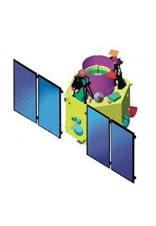
Search
 
 
  ISRO
WWW


Launch Date
28.04.2008
 
CARTOSAT – 2A is the thirteenth satellite in the Indian Remote Sensing Satellite series (IRS). It is a sophisticated and rugged remote sensing satellite that can provide scene specific spot imagery. This satellite carries a Panchromatic Camera (PAN). The spatial resolution of this camera is better than 1m and swath of 9.6 km. Imageries from this satellite are used for cartographic applications like mapping, urban and rural infrastructure development and management, as well as application in Land Information (LIS) and Geographical Information System (GIS).
Mission Remote Sensing
Weight 690 Kg (Mass at lift off)
Onboard Power 900 Watts
Stabilization 3 – axis body stabilised using high torque reaction wheels, magnetic torquers and hydrogen thrusters
Payloads Panchromatic Camera
Launch date 28 April 2008
Launch site SHAR Centre Sriharikota India
Launch vehicle PSLV- C9
Orbit 635 kms, Polar Sun Synchronous
Inclination 97.94 deg
Mission life 5 years
Home  |  About Us  |  ISRO Centers   |  Launch Vehicles  |  Satellites  |  Ground Facilities  |  Our Chairman
Sitemap  |  FAQ   |  Feedback  |  Terms of Use  |  Privacy Policy  |  Contact Us  |  Disclaimer
Copyright 2008 ISRO, All Rights Reserved.
 
Best viewed with a resolution of 1024x768 with Internet Explorer 7.0